11 L'Estartit - Platja de Pals
 Map
Map KM22,5
 Duration4h 50'
 DifficultyDifficult
 Elevation
 98m
98m 111m
111m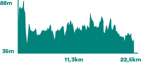

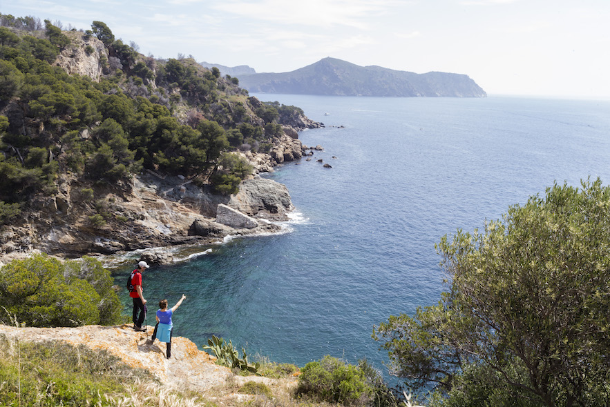
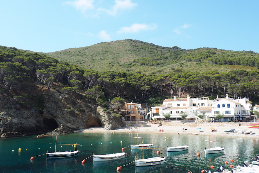
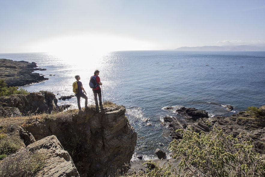
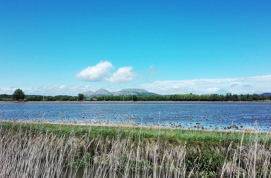
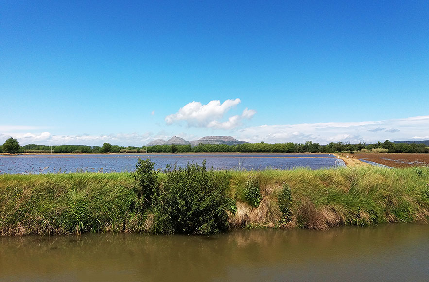
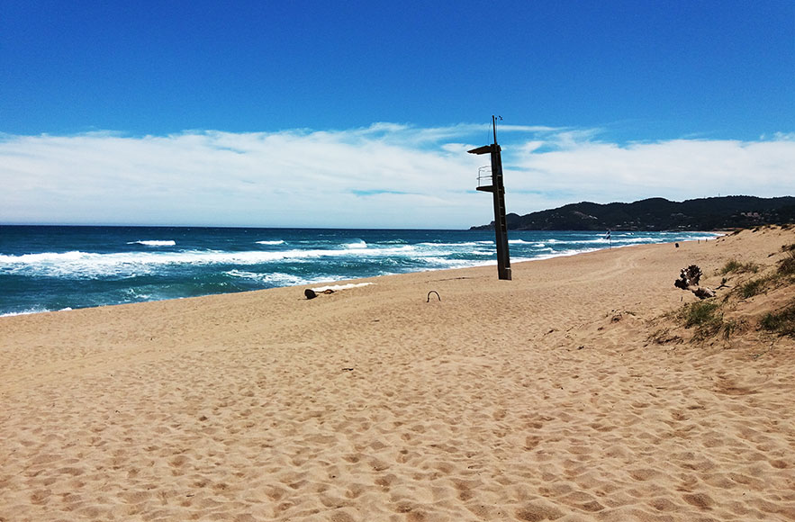
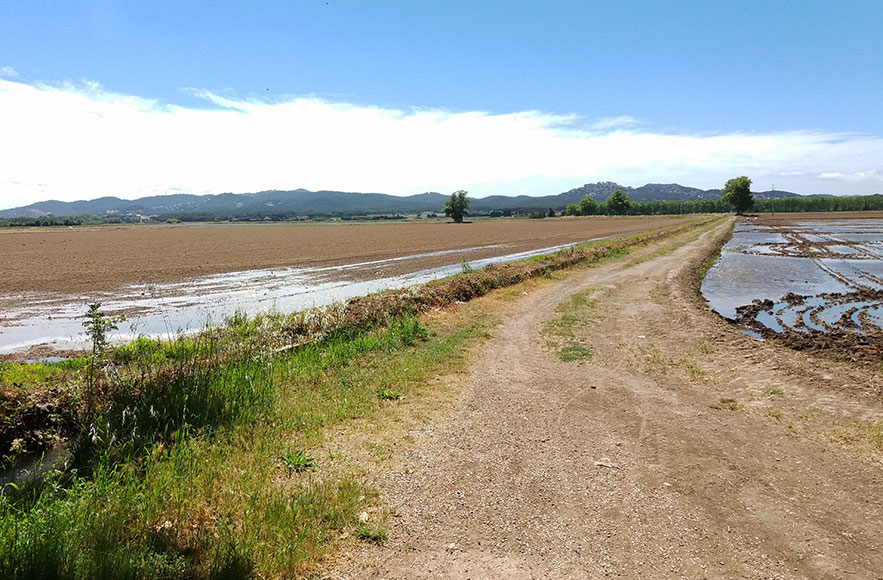
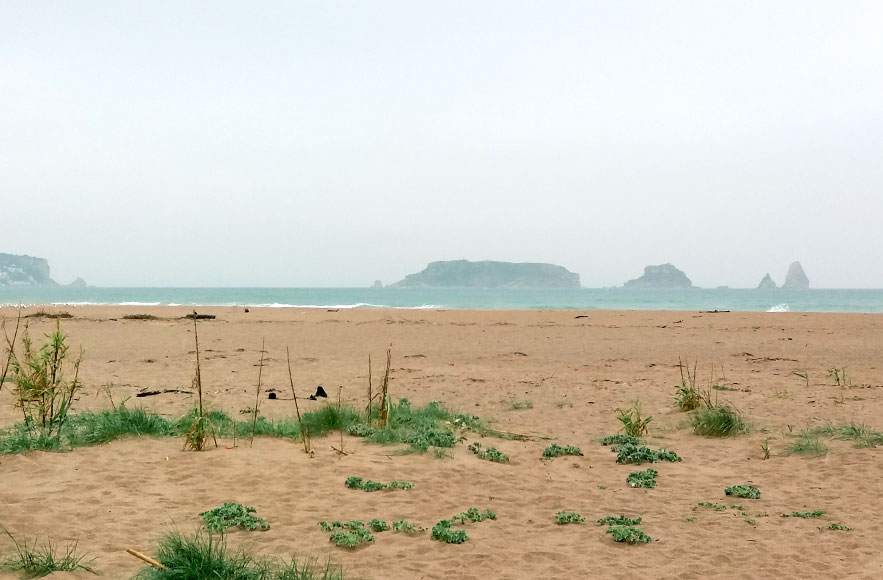
This section of the coastal path runs along the River Ter and the sandy beach of l'Estartit in Pals. In the shadow of the Montgrí massif and the Medes Islands, the Baix Ter plain forms a landscaped mosaic with riverside vegetation, rice fields, apple trees, wetlands and sea [+] More
Itinerary
Seafront of L'Estartit, residential area of Els Griells, la Pletera and Fra Ramon Integral Natural Reserve, left riverbank of the Ter River, Torroella de Montgrí, right riverbank of the Ter River, country house Mas Pinell, Basses d'en Coll and beach of Pals.
Places and activities of interest in L'Estartit
-
 Dolmen
 -
 Tennis and/or Paddle
 -
 Fishing
 -
 Scuba diving and/or snorkel
 -
 Surfing and / or sailing activities
 -
 Tourist train
 -
 Beach
Beach -
 Sailing trips
 -
 Viewpoint
 -
 Bicycle
 -
 Natural Park or Natural Reserve
 -
 Boat cruises
 -
 Balloon trips
 -
 Golf et/ou minigolf
 -
 Kayak
Kayak -
 Medieval building
Places and activities of interest in Platja de Pals
-
Scuba diving and/or snorkel
-
Surfing and / or sailing activities
-
Beach
-
Bicycle
-
 Art
Art -
Golf et/ou minigolf
-
 Horseback riding
 -
Medieval building